Monday, September 28, 2015

Day Hiking in Yosemite: Day 3

For our final day in Yosemite, we wanted to do one last short hike before heading home.  We both agreed that something in Tuolomne Meadows was ideal because 1) it was on our way home and 2) I could get my passport stamped at the visitor's center at TM.  After the fiasco of the day before, I was even more determined to get my passport stamped.

So we ended up hiking out on the Lyell Canyon Trail, which is a segment of the John Muir Trail/PCT.  Knowing that we wanted to get home at a decent time, we gave ourselves 2 hours of hiking in each direction rather than pick a specific spot to get to.  It was nice and relaxing feeling that we didn't have much of a goal. We started out near the Lake Catherine trailhead and headed east.  The trail for the first 0.5 miles was a nasty, tore-up mess.  The ground was rocky and hikers and equestrians had walked all over the place to find the smoothest route.  But as we moved past the trail to the visitor center, the trail improved and became a nice little footpath through the trees.

The hike wasn't terribly scenic but moving down the trail was pleasure in itself.  As my friend says, "it smells like the outdoors."  Yes, Melissa, it did.  Piney and dusty and fresh.  After the debacle of the day before, this trail was peaceful and soothing.  As we neared our turn around point, we spotted a nice flat area by the river and sat down for a break.  I took my shoes off and stood in the water.  Holy moly was it COLD!!  I grew up going to Lake Tahoe and the coldness of Tahoe has nothing on this stuff.  But my feet loved it.  They felt all tingly and refreshed when I got out.

On the way back, we went down a side trail to the visitor center and I finally got my passport stamped.  But just to finish the trip off right, I accidentally stamped it upside down.  Because of course I did.  Sigh.

Melissa looking like Mountain Girl.

Peaceful trail.

Our spot by the river.

Day Hiking in Yosemite: Day 2

Day 2 of our Yosemite Trip was a comedy of errors.  Our plan had been to hike up to Glacier Point on the 4 Mile Trail. Yeah sure, we can do that.  Easy.  Right?  Heh.

So the day started off with us bumbling around Yosemite Valley.  I wanted to get the Yosemite stamp for my National Park Passport, so we parked the car near the 4 Mile Trail and decided to walk over to the visitor center.  Half way there, I realized two things.  1) I'd forgotten my passport in the car and 2) I'd forgotten to bring a lunch.  Sigh.  But we soldiered on.  We were almost to Yosemite Village anyway.  At the store, I picked up a Clif bar - just like the one I left at camp - and we perused the souvenirs a little.  On the way back to the car, we decided to catch the shuttle, which supposedly would drop us "near" our car.  I guess 1 mile from the car is "near."  Anyway we finally got back to the car, grabbed our backpacks and made our way to the trailhead.

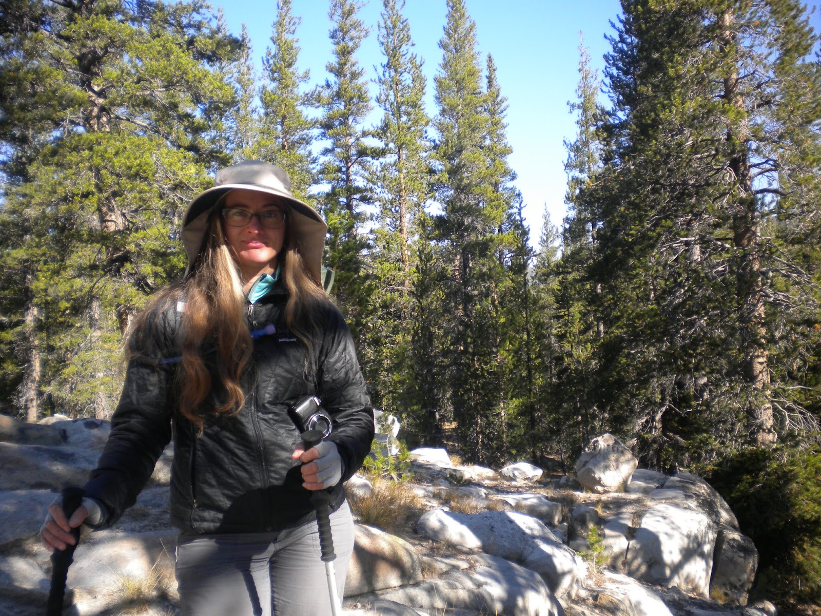
Our first inkling of trouble was when we got to the trailhead, which listed the mileage to Glacier Point at 4.6 miles not the 4 we had been expecting.  Our next inkling came from gazing up at what we guessed was Glacier Point - waaaaaay up above us.  Now, I knew it was going to be a crazy slog to get up there but I didn't realize just how crazy until I started climbing.  The trail appears on maps as a death slog of switchbacks with a seemingly flattish spot in the middle with a second set of death by switchback.  We made it past the first set of switchbacks and started the second set and then I just quit.  My legs were shaking and I was totally out of gas - and we weren't even half way to our destination.  I swallowed my pride and made a command decision, to stop where we were and go down.  My friend is in better shape than me and probably could have gone on but she agreed.  And I'm glad she did.  We were WIPED for the rest of the day.  But we did get to see some pretty awesome views from the trail.  Had Yosemite Falls had any water in it, we would have gotten some really stunning views of it.

In the end, we drove up to Glacier Point (a surprisingly lengthy drive).

Our day continued to be a tad effed up all the way back to camp.  After visiting Glacier Point, we drove back to Yosemite Valley because I was determined to get my passport stamp.  We arrived 30 minutes after the visitor center closed.  Sigh.  But we trotted over to the store where we bought some souvenirs and I bought a Tasty Bite for dinner.  Then we took off for our camp...and totally missed the turn to the Tioga Road and ended up at Hetch Hetchy.  "Wait I don't remember there being a fee station on the Tioga Road..." Sigh. By this time we were fed up and tired.  We got back to camp at about 8.  But my Tasty Bite dinner made it all better.  The microwaveable ones fit into my Jet Boil.  Just plop the bag in a Jet Boil for a couple of minutes in boiling water and voila! Delicious Indian food for dinner.  I recommend cutting the bag to vent and not filling the Jet Boil to the fill line to avoid overboiling.

I could be wrong but I'm pretty sure that's Glacier Point.  Way up there.

"4 Mile Trail" my ass.

Death by switchback.  This picture makes it look kind of tame but it was freaking steep.

Yosemite Falls is that stain in the middle.  No water, alas.

We did manage to get pretty high above the valley before we quit.  This is looking west.

Looking west again.  That's El Capitan on the right and Yosemite Valley waaay down there.

Final view of our goal...which we never got to.

We made it...by the power of turbo diesel. 

Yosemite Valley is waaay down there.

Absolutely stunning.


Day Hiking in Yosemite: Day 1

A couple of weekends ago, my buddy and I went to Yosemite to do some camping and day hiking. Both of us live on the east side of the Sierra Nevada Mountains, so we cruised down Highway 395 to Lee Vining and drove up the long climb to Tioga Pass. We got to the fee station at about 10:30 and then made a bee-line to the nearest first come-first serve campground that had openings - Porcupine Flat.  We got a campsite no problem but the campground filled up quickly after we go there - phew!

After getting our tents set up and our food in the bear locker, we headed back to Tuolomne Meadows to do a day hike along the Tuolomne River.  The weather was gorgeous - low 70s with crystal clear skies.  We got some amazing views of Lembert Dome and some of the surrounding spires and glacier carved granite.  The hike along the River was easy.  Mostly flat with only a few very minor climbs.  As we made our way down the trail, we were surprised to see CCC trail maintenance crews coming out followed by pack teams carrying the heavier gear and trash.  I didn't realize the CCC still existed! As a mule fan, I was super excited to see the mule teams.  The packers were obviously tired and just wanted to end the day, so we left them alone but I would have loved to give the mules a good scratch behind their ears!

We mostly ambled along, in no hurry to get anywhere.  My hope had been to make it Glen Aulin camp and to see a series of waterfalls along the way.  Unfortunately, our slow pace plus a late-ish start and our propensity to stop and take lots of photos meant that we didn't make it the full 4 miles in to the camp. Oh well, we did make it as far as the first of the waterfalls where we relaxed for a bit and took some photos.

On the way back, we were surprised by a mother coyote and her two nearly-grown pups walking down the trail toward us. I wasn't afraid of them but I chose not to take any photos - I didn't want to be "that guy" who's found half eaten in the woods with the last photos on my camera showing a pack of coyotes moving in for the kill.  Not that I thought that would happen...but still.  It was actually kind of neat to watch them.  The pups moved off the trail yipping and calling to each other while the mother hung back to watch us and make sure we weren't going to cause them trouble.  After she was satisfied that we were OK, she followed the pups into the woods.

Photos from the Tuolomne River hike:

Lembert Dome in Tuolomne Meadows.

Spires from the trail.

Mule team!

Buckskin with zebra striped legs.  My favorite.

Tuolomne River with big granite in the background.

Glacier scrape.


Waterfall.

Soda Springs